File:Brzozo141224.png
Size of this preview: 444 × 600 pixels. Other resolution: 484 × 654 pixels.
Original file (484 × 654 pixels, file size: 524 KB, MIME type: image/png)
Summary
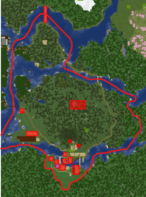
Map of Brzozowylas Region as of 14 December 2024. Part of the region extends a few blocks to the west past the image.
File history
Click on a date/time to view the file as it appeared at that time.
| Date/Time | Thumbnail | Dimensions | User | Comment | |
|---|---|---|---|---|---|
| current | 16:18, 14 December 2024 | | 484 × 654 (524 KB) | DopleTople (talk | contribs) | Map of Brzozowylas Region as of 14 December 2024. Part of the region extends a few blocks to the west past the image. |
You cannot overwrite this file.
File usage
The following page uses this file: